NASA tests planetary fieldwork across Arizona landscapes
Researchers used craters, lava tubes and volcanic terrain to refine methods for studying the Moon and Mars.
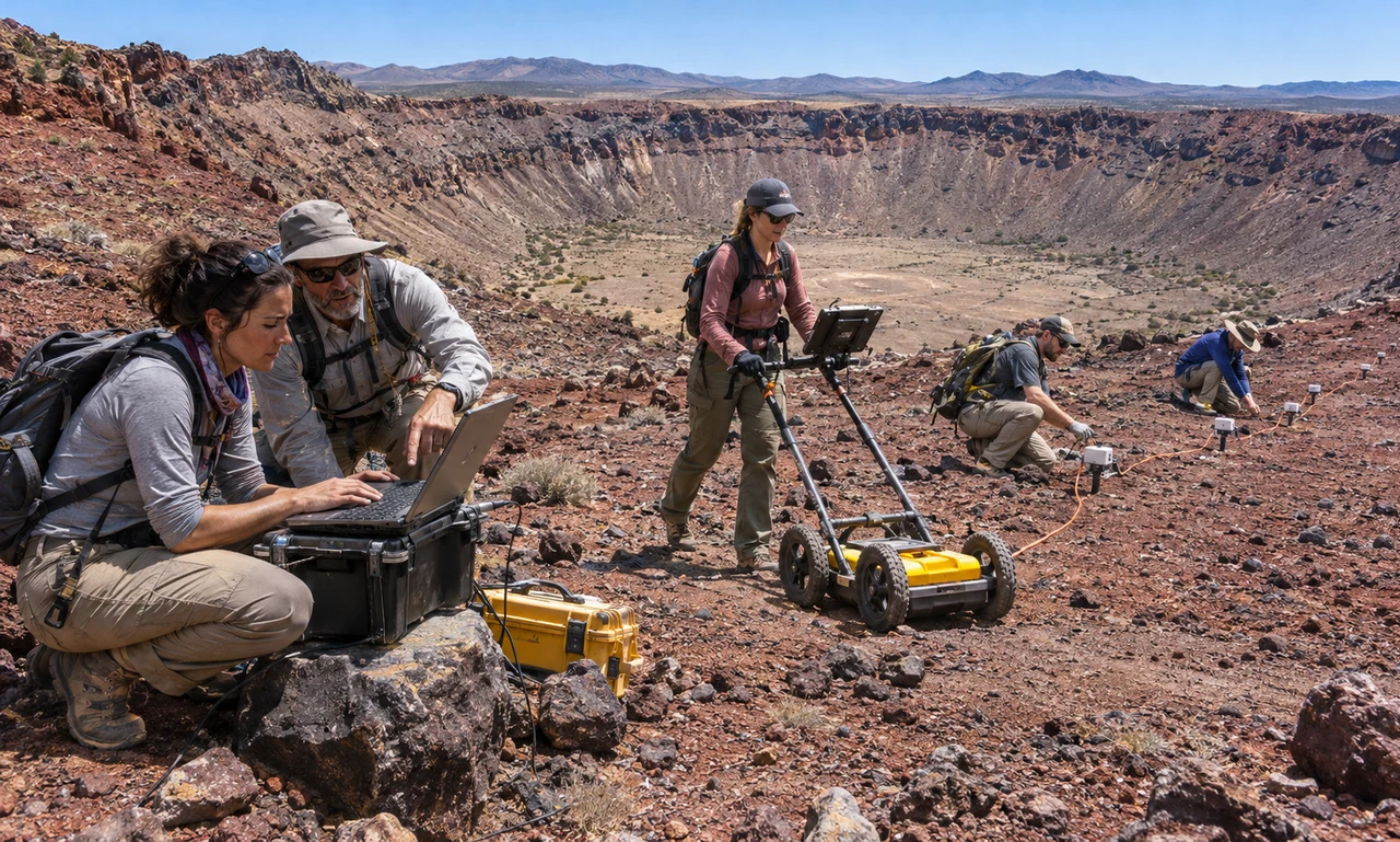
NASA scientists have completed a set of connected field investigations near Flagstaff, Arizona, using Earth landscapes as stand-ins for destinations on the Moon and Mars.
At Meteor Crater, teams moved ground-penetrating radar and seismic sensors across the debris field to map buried layers thrown outward by the ancient impact. Other instruments measured how the collision changed the chemistry of local rocks.
Researchers mapped Lava River Cave with laser-ranging equipment, aerial imagery and environmental measurements. The work tested ways to reconstruct lava tubes where satellite navigation and compasses may be unreliable.
At Cinder Lake, a landscape created for Apollo training, scientists studied how people perceive colour under lighting similar to the lunar south pole. Separate teams collected volcanic samples at SP Crater and compared eroding lava and ash-derived clay in Petrified Forest National Park.
The data will now move into laboratory analysis and three-dimensional modelling. The methods could guide future surface science and astronaut fieldwork on other worlds.
Source
News brief based on the linked NASA field report.