NASA maps California terrain to assess wildfire risk
A statewide lidar dataset captures terrain and vegetation at one-metre resolution, down to the scale of individual trees.
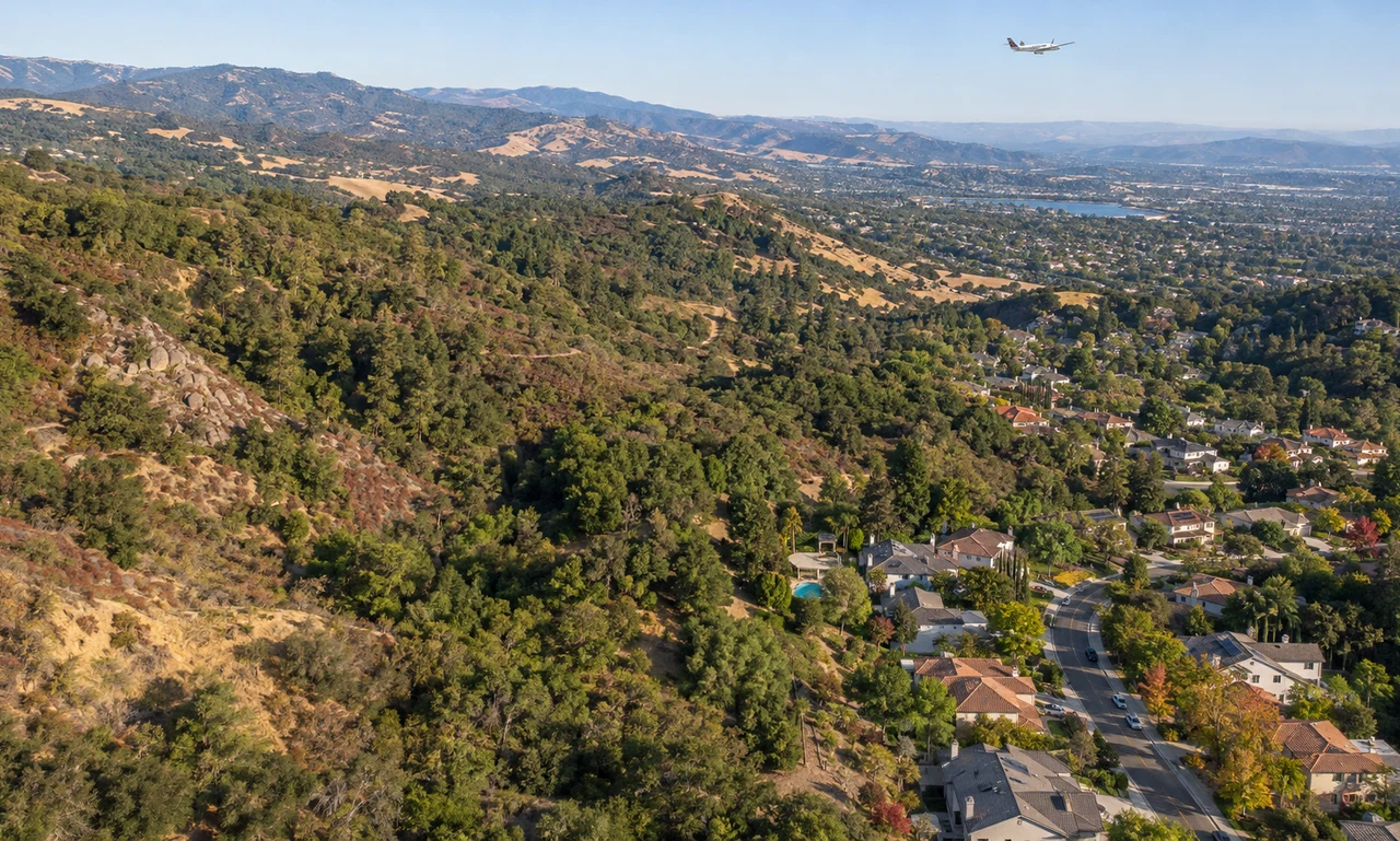
NASA researchers have produced detailed three-dimensional maps of California’s terrain to support wildfire-risk assessment and natural-resource planning.
The statewide dataset has a pixel size of one square metre, fine enough to represent features at the scale of an individual tree. Most space-based lidar products have a resolution of about 10 to 25 square metres per pixel.
The research team combined measurements from airborne lidar with data collected through the U.S. Geological Survey’s 3D Elevation Program. Lidar uses pulses of laser light to measure distances and build a three-dimensional picture of land, vegetation and structures.
NASA is working with the California Natural Resources Agency and the California Air Resources Board. The partners plan to use the maps to develop tools for wildfire risk, ecosystem protection and land management.
The dataset does not predict where a fire will start. It provides a consistent view of terrain and vegetation that researchers and agencies can combine with weather, fuel and community data.
Source
News brief based on the linked NASA Science report.